Delivering quality construction solutions for modern living and sustainable developments.

Successful Projects
Professional Team
satisfied Clients
Wining Awards
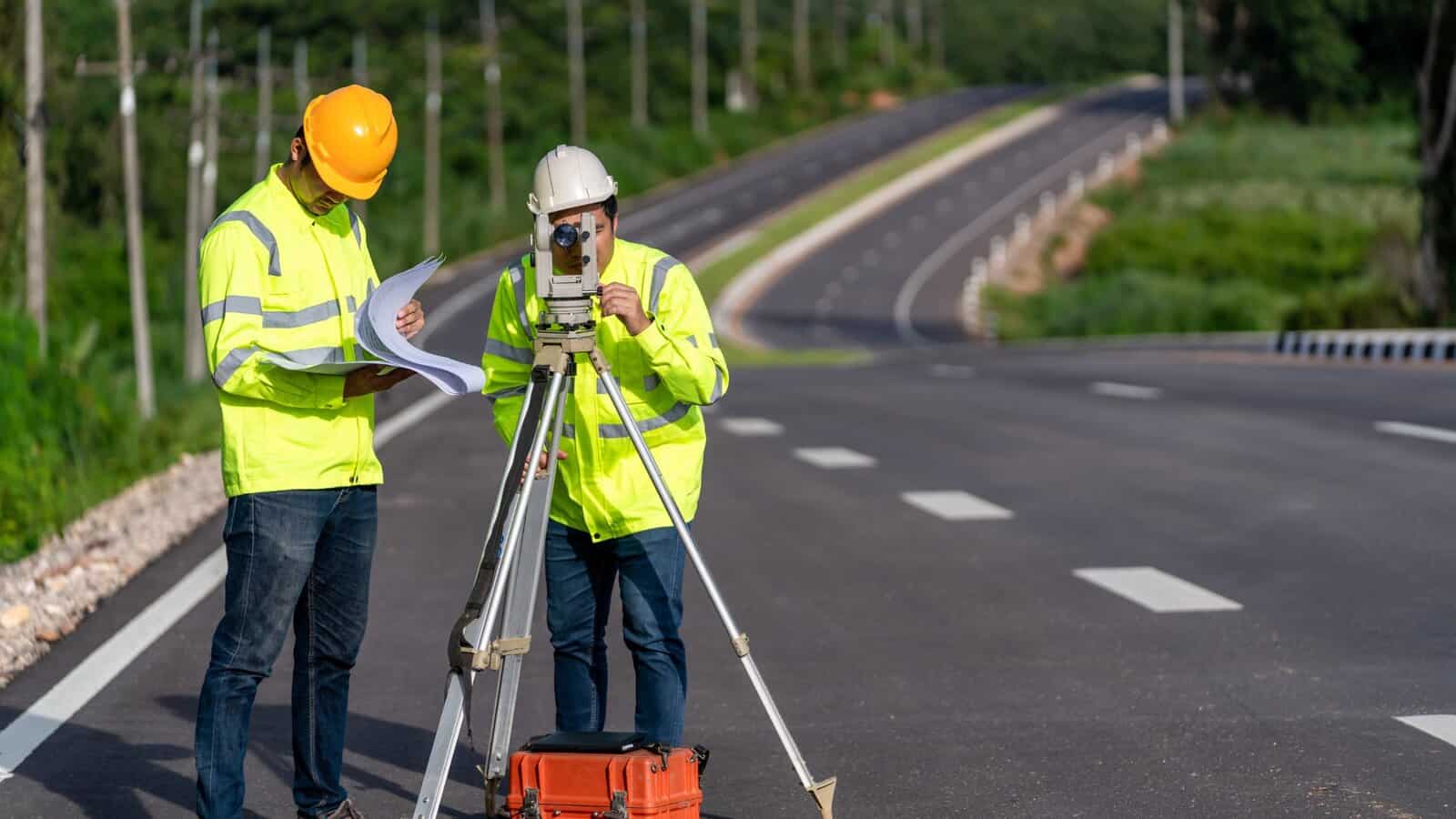
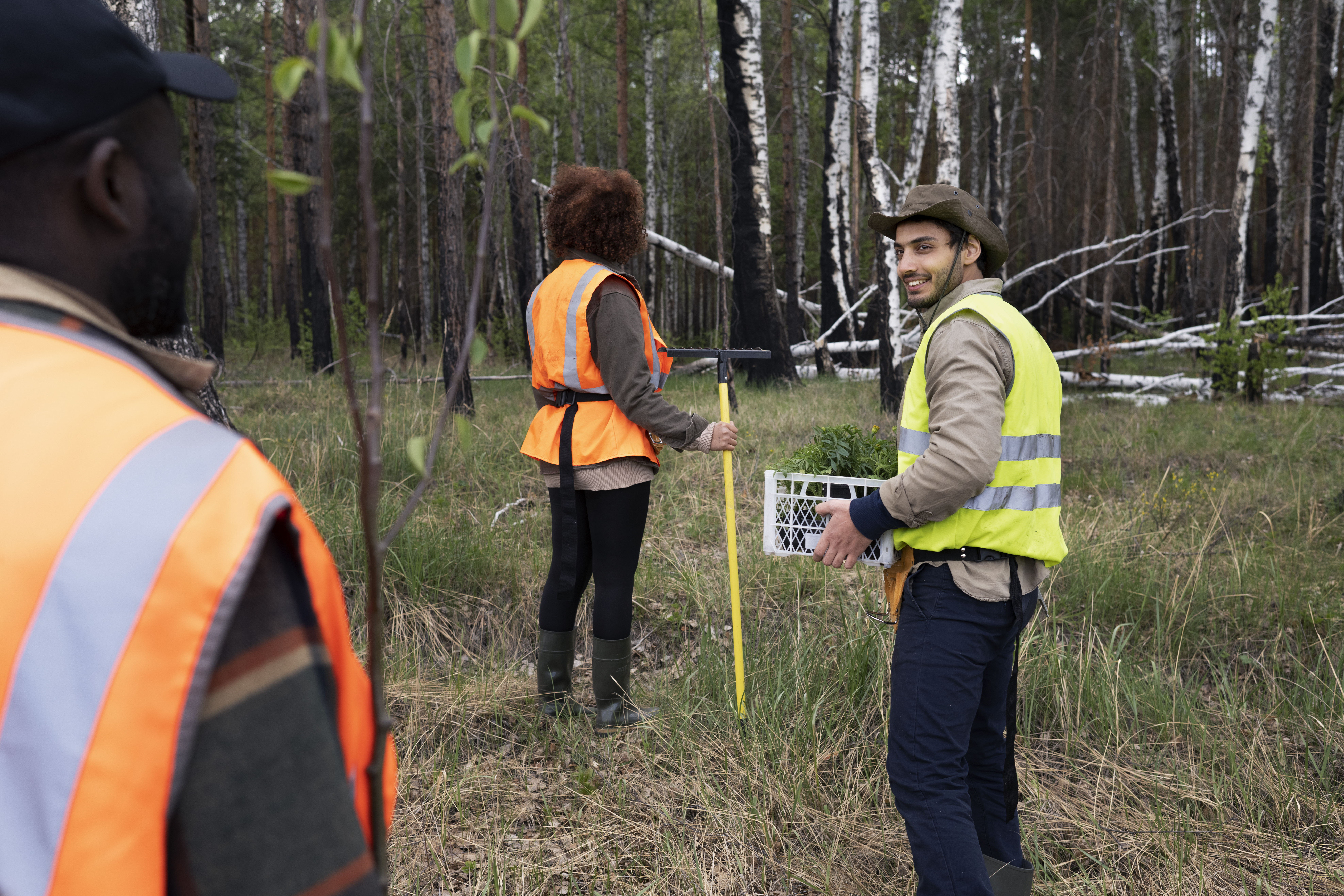
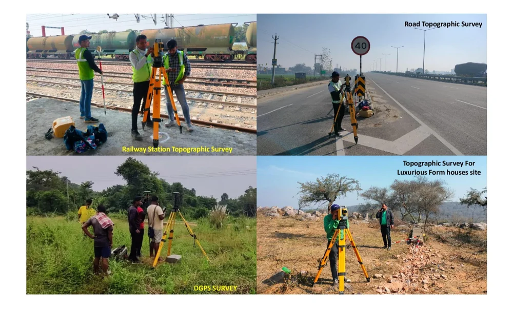
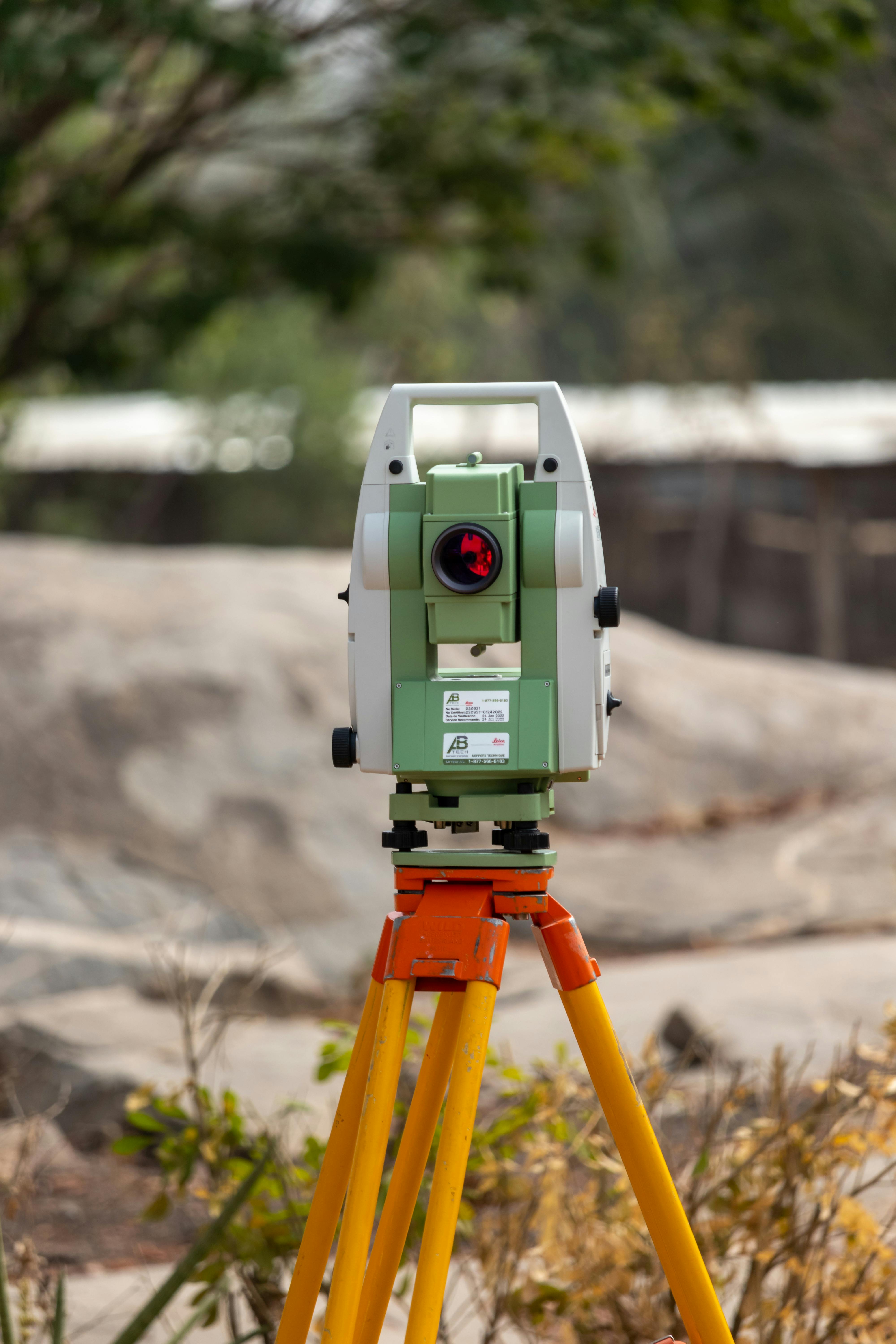
We provide professional land surveying Services including topographic surveys, boundary demarcation, leveling and contour mapping for railway, road, airport, and township projects. Our work ensures accuracy, compliance, and reliability for planning and execution.

Registered Engineer & Certified Land Surveyor

We provide accurate and reliable land surveying solutions including topographic, boundary, leveling, and construction surveys for infrastructure and development projects.
Detailed land mapping with contour levels for planning, design, and infrastructure development.

Accurate boundary demarcation and site layout marking as per approved plans and records.

Precise level measurements for roads, railways, buildings, and site development works.
Column, pile, foundation, and structural marking for accurate execution of construction works.
High-precision control surveys using DGPS and GNSS for large-scale and infrastructure projects.

Alignment, center line, and level surveys for transportation and airport infrastructure projects.
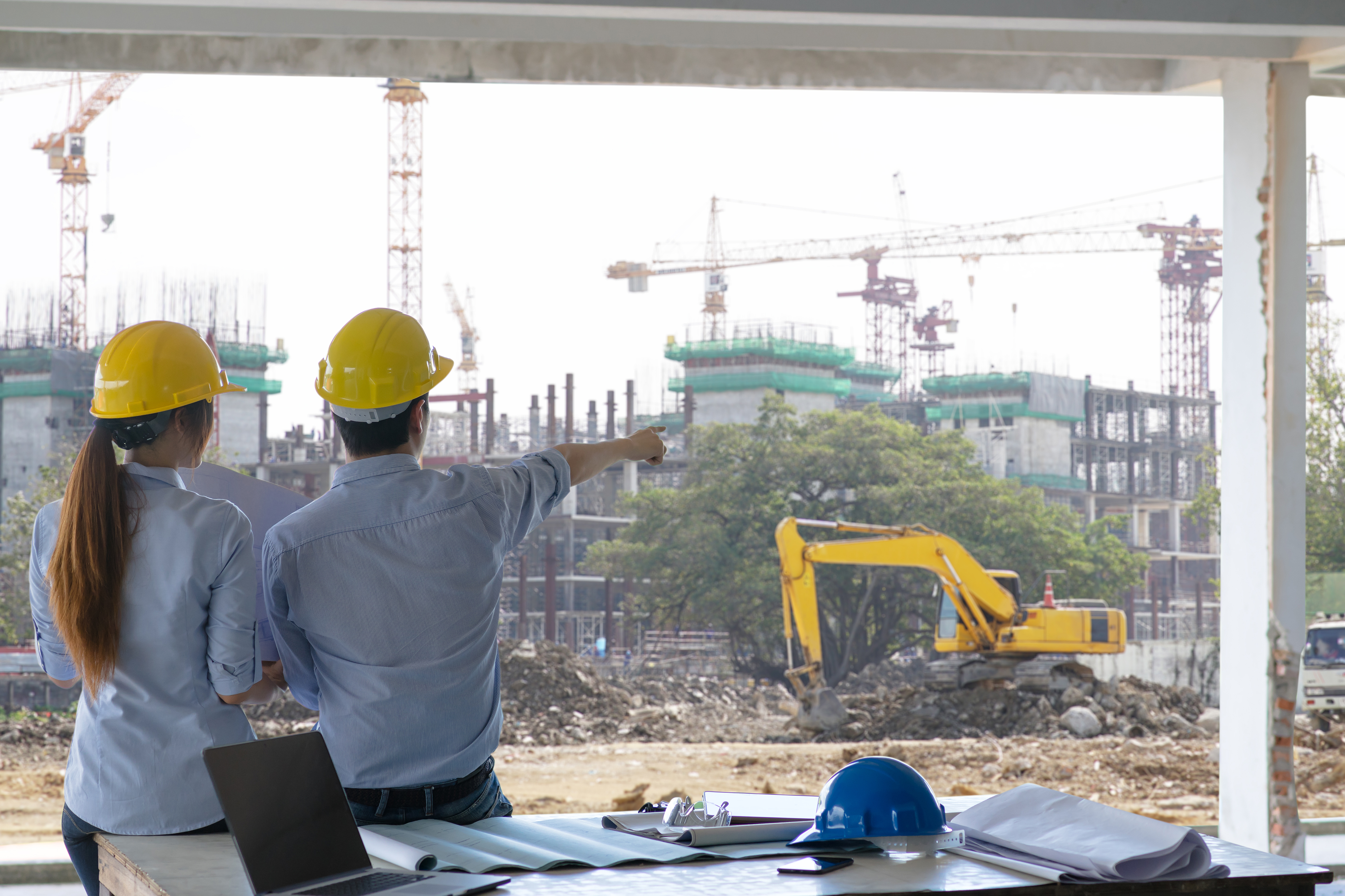
We deliver high-precision land surveying Services for infrastructure and construction projects, ensuring legal compliance, technical accuracy, and reliable execution from planning to completion.
Registered engineer and certified land surveyor handling all surveys as per government and statutory regulations.
Use of Total Station, DGPS / GNSS, and modern instruments for precise measurements and error-free data.
Proven experience in railway, road, airport, township, and large-scale construction survey projects.
Clear AutoCAD drawings, FMB / FMD documentation, and as-built reports suitable for approvals, audits, and execution.


We have successfully completed a wide range of land surveying and infrastructure survey projects including topographic, boundary, leveling, and construction surveys for roads, railways, airports, and township developments.

Land Mapping & Leveling Works
Plot Demarcation & Site Layout

Infrastructure Survey Works
Center Line & Level Survey

Runway & Site Development Survey

Residential & Commercial Planning
Post-Construction Verification

Column, Pile & Foundation Marking


"Chilling Cafe’s interior design team transformed my space into a warm and welcoming environment. I’m impressed with their attention to detail."


"The construction team delivered our modern home on time and within budget. Professional, efficient, and extremely reliable."

"Their project management services made the renovation process smooth. Every stage was handled expertly with clear communication."

"From planning to execution, the team exceeded expectations. The quality of workmanship and finishes is top-notch."
Copyright © 2026 EROSOMAS Digital Land Survey Consulting , All rights reserved.


 Commercial
Projects
Commercial
Projects